| Duncan's Peak | |
|---|---|
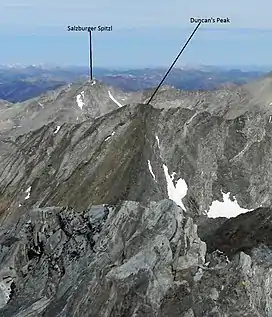 Duncan's Peak viewed from Hyndman Peak | |
| Highest point | |
| Elevation | 11,755 ft (3,583 m)[1] |
| Prominence | 395 ft (120 m)[1] |
| Coordinates | 43°45′22″N 114°08′16″W / 43.756159°N 114.137679°W |
| Geography | |
| Parent range | Pioneer Mountains |
| Topo map | USGS Phi Kappa Mountain |
| Climbing | |
| Easiest route | Scramble, class 3 |
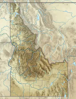
Duncan's Peak, at 11,755 feet (3,583 m) above sea level, is the ninth-highest peak in the Pioneer Mountains of the U.S. state of Idaho. The peak is located on the border of Sawtooth and Salmon-Challis National Forests as well as Blaine and Custer counties. It is the 28th-highest peak in Idaho and about 0.6 miles (0.97 km) northwest of Hyndman Peak.[2][3][4]
References
- 1 2 "Duncans Peak, Idaho". Peakbagger.com. Retrieved January 1, 2013.
- ↑ "The 100 Highest Peaks". Idaho: A Climbing Guide. Retrieved January 1, 2013.
- ↑ Sawtooth National Forest (Map) (1998 ed.). Sawtooth National Forest, U.S. Forest Service.
- ↑ "Duncans Peak". SummitPost.org. Retrieved January 1, 2013.
This article is issued from Wikipedia. The text is licensed under Creative Commons - Attribution - Sharealike. Additional terms may apply for the media files.