Kfarabida
Kfar Aabida كفرعبيدا | |
|---|---|
Town | |
| Country |  Lebanon Lebanon |
| Governorate | North Governorate |
| District | Batroun District |
| Elevation | 700 ft (200 m) |
| Population (2007) | |
| • Total | 9,613 |
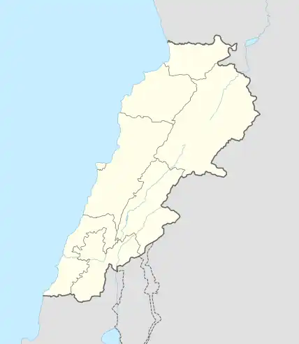 .svg.png.webp) Shown within Lebanon | |
| Alternative name | Fadaous Sud |
|---|---|
| Location | 2 kilometres (1.2 mi) south of Batroun, Lebanon |
| Region | North Governorate |
| Coordinates | 34°13′35″N 35°39′36″E / 34.226389°N 35.66°E |
| Type | Flint factory[1] |
| Part of | Tell Fadous |
| Length | 800 meters[2] |
| History | |
| Cultures | Qaraoun |
| Site notes | |
| Archaeologists | Maurice Tallon, Dörte Rokitta-Krumnow[3] |
| Public access | Yes |
Kfar Abida, (sometimes spelled Kfar Aabida or Kfaraabida) is a village located 2 kilometres (1.2 mi) south of Batroun in the Batroun District of the North Governorate in Lebanon.[4] On the coast, in the southwest of the town, lies an archaeological tell, Tell Fadous. Located south of the tell, is Fadous Sud, a Heavy Neolithic site of the Qaraoun culture.[5][6]
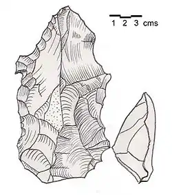
Neolithic flint tools from the Qaraoun culture.
References
- ↑ Genz, H. and Sader, H. 2007 Excavations at the Early Bronze Age Site of Tell Fadous-Kfarabida: Preliminary Report on the 2007 Season of Excavations. Bulletin d’Archéologie et d’Architecture Libanaises 11: 7-16., 2007.
- ↑ Copeland, Lorraine (1966). Inventory of Stone Age Sites in Lebanon: North, South and East-Central Lebanon. Part two. éditeur non identifié.
- ↑ Rokitta D., A lithic site southeast for Tell Fadous-Kfarabida: Preliminary observations. Baal 9 (2005) 100-101.
- ↑ Robert Boulanger (1966). The Middle East, Lebanon, Syria, Jordan, Iraq, Iran, p. 178. Hachette. Retrieved 9 July 2012.
- ↑ "Fadous site". fadous.net. Retrieved 2023-02-23.
- ↑ "Tell Fadous | University of Tübingen". uni-tuebingen.de. Retrieved 2023-02-23.
External links
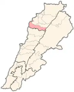
Capital: Batroun | ||
| Towns and villages |
|  |
This article is issued from Wikipedia. The text is licensed under Creative Commons - Attribution - Sharealike. Additional terms may apply for the media files.