| Sarabah Queensland | |||||||||||||||
|---|---|---|---|---|---|---|---|---|---|---|---|---|---|---|---|
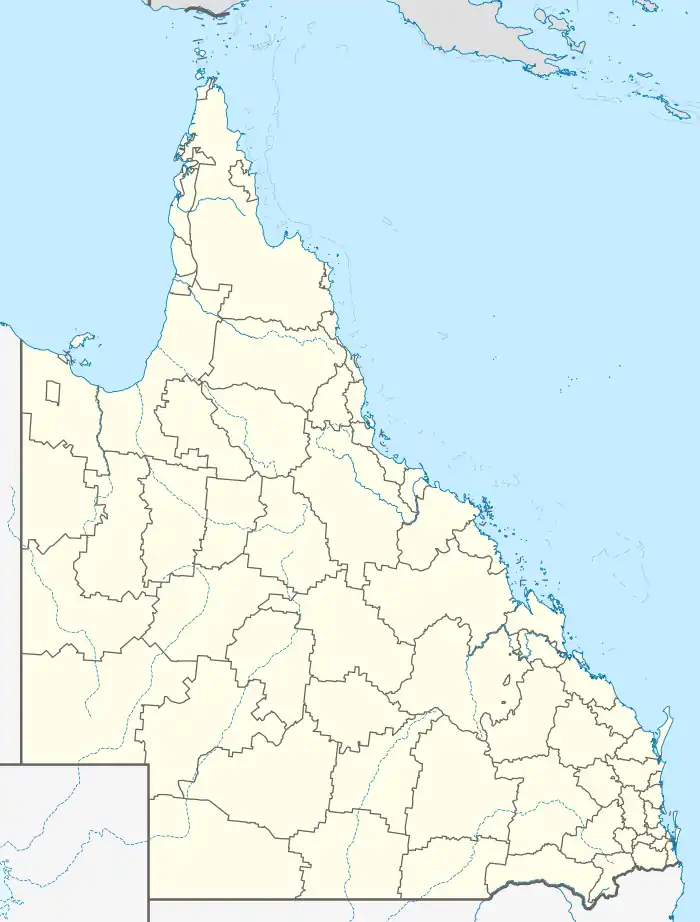  Sarabah | |||||||||||||||
| Coordinates | 28°07′08″S 153°07′13″E / 28.1188°S 153.1202°E | ||||||||||||||
| Population | 55 (2016 census)[1] | ||||||||||||||
| Established | Gazetted on 30 January 2009 | ||||||||||||||
| Postcode(s) | 4275 | ||||||||||||||
| LGA(s) | Scenic Rim Region | ||||||||||||||
| State electorate(s) | Scenic Rim | ||||||||||||||
| Federal division(s) | Wright | ||||||||||||||
| |||||||||||||||
Sarabah is a locality in the Scenic Rim Region, Queensland, Australia.[2]
Geography
Canungra Creek forms part of the south-eastern boundary before flowing through to the north.[3]
History
Sarabah Provisional School opened on 6 June 1892 and closed in June 1899.[4]
In the 2016 census, Sarabah had a population of 55 people. The locality contains 25 households, in which 48.0% of the population are males and 52.0% of the population are females. The population's media age of 56 is 18 years above the national average. The average weekly household income is $1,437, $1 below the national average.[1]
References
- 1 2 Australian Bureau of Statistics (27 June 2017). "Sarabah". 2016 Census QuickStats. Retrieved 13 September 2019.
- ↑ "Sarabah – locality in Scenic Rim Region (entry 45195)". Queensland Place Names. Queensland Government. Retrieved 13 September 2019.
- ↑ Google (15 September 2021). "Sarabah, Queensland" (Map). Google Maps. Google. Retrieved 15 September 2021.
- ↑ Queensland Family History Society (2010), Queensland schools past and present (Version 1.01 ed.), Queensland Family History Society, ISBN 978-1-921171-26-0
This article is issued from Wikipedia. The text is licensed under Creative Commons - Attribution - Sharealike. Additional terms may apply for the media files.