Řikonín | |
|---|---|
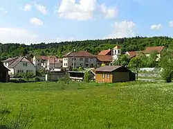 View from the south | |
 Flag  Coat of arms | |
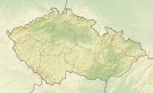 Řikonín Location in the Czech Republic | |
| Coordinates: 49°21′52″N 16°18′21″E / 49.36444°N 16.30583°E | |
| Country | |
| Region | South Moravian |
| District | Brno-Country |
| First mentioned | 1365 |
| Area | |
| • Total | 2.59 km2 (1.00 sq mi) |
| Elevation | 355 m (1,165 ft) |
| Population (2023-01-01)[1] | |
| • Total | 55 |
| • Density | 21/km2 (55/sq mi) |
| Time zone | UTC+1 (CET) |
| • Summer (DST) | UTC+2 (CEST) |
| Postal code | 594 51 |
| Website | www |
Řikonín is a municipality and village in Brno-Country District in the South Moravian Region of the Czech Republic. It has about 60 inhabitants.
Řikonín lies approximately 29 kilometres (18 mi) north-west of Brno and 158 km (98 mi) south-east of Prague.
Gallery
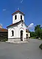 Chapel of Saint Giles
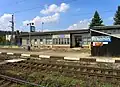 Train station
References
Wikimedia Commons has media related to Řikonín.
This article is issued from Wikipedia. The text is licensed under Creative Commons - Attribution - Sharealike. Additional terms may apply for the media files.