Achterwetering | |
|---|---|
Hamlet | |
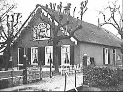 Farm in Achterwetering | |
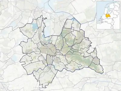  Achterwetering Location in the Netherlands 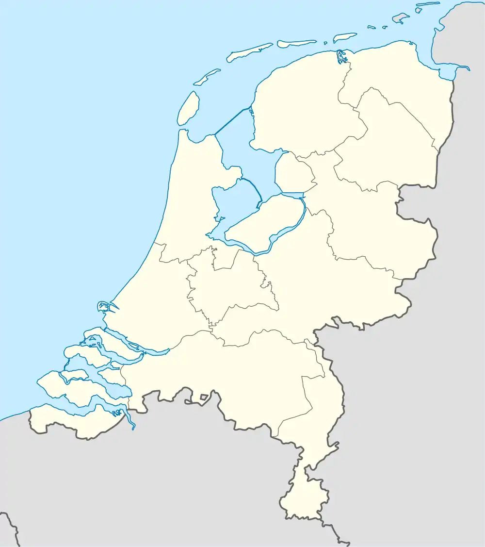 Achterwetering Achterwetering (Netherlands) | |
| Coordinates: 52°9′1″N 5°9′7″E / 52.15028°N 5.15194°E | |
| Country | Netherlands |
| Province | Utrecht |
| Municipality | De Bilt |
| Time zone | UTC+1 (CET) |
| • Summer (DST) | UTC+2 (CEST) |
| Postal code | 3738[1] |
| Dialing code | 0346[1] |
Achterwetering is a hamlet in the Dutch province of Utrecht. It is a part of the municipality of De Bilt, and lies about 4 km northwest of Bilthoven.
It was first mentioned in 1696 as De Achter Weteringe, and means behind the polder canal.[2] Achterwetering is not a statistical entity,[3] and the postal authorities have placed it under Maartensdijk.[1] It does not have place name signs. In 1840, it was home to 121 people. Nowadays, it consists of about 30 houses.[4]
References
- 1 2 3 "Postcode Achterweteringseweg in Maartensdijk". Postcode bij adres (in Dutch). Retrieved 28 March 2022.
- ↑ "Achterwetering - (geografische naam)". Etymologiebank (in Dutch). Retrieved 28 March 2022.
- ↑ "Kerncijfers wijken en buurten 2021". Central Bureau of Statistics. Retrieved 28 March 2022.
not found
- ↑ "Achterwetering". Plaatsengids (in Dutch). Retrieved 28 March 2022.
This article is issued from Wikipedia. The text is licensed under Creative Commons - Attribution - Sharealike. Additional terms may apply for the media files.