Amangal | |
|---|---|
Mucinipality | |
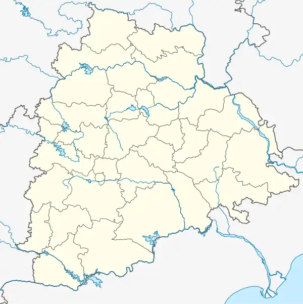  Amangal  Amangal | |
| Coordinates: 16°51′00″N 78°31′59″E / 16.850°N 78.533°E | |
| Country |  India India |
| State | Telangana |
| District | Rangareddy |
| Population | |
| • Total | 18,500 |
| Languages | |
| • Official | Telugu |
| Time zone | UTC+5:30 (IST) |
| PIN | 509321 |
| Telephone code | 08543 |
| Vehicle registration | TS-07 |
| Nearest city | Hyderabad |
| Lok Sabha constituency | Nagarkurnool |
| Vidhan Sabha constituency | Kalwakurthy |
| Climate | hot (Köppen) |
Amangal is a municipality in Ranga Reddy district of the Indian state of Telangana. It is under Kalwkurthy vidhan sabha. It is located in Amangal mandal of Kandukur revenue division.[1]
Geography
Amangal is located at 16°51′00″N 78°31′59″E / 16.850°N 78.533°E. It has an average elevation of 507 metres (1,663 ft).
History
The Recharla Padmanayaka dynasty ruled Amangal as its capital in 13th century.[2] Padmanayaka dynasty were the feudatories of Kakateeya kings. They ruled South part of Kakateeya kingdom with their capitals as Amangal, Rachakonda and Devarakonda.
References
- ↑ "Rangareddy district" (PDF). New Districts Formation Portal. Government of Telangana. Archived from the original (PDF) on 13 October 2016. Retrieved 26 March 2017.
- ↑ "Telangana history in Telugu రేచర్ల పద్మనాయకులు | Recruitment Topper". Recruitment Topper. 6 April 2016. Retrieved 22 December 2017.
This article is issued from Wikipedia. The text is licensed under Creative Commons - Attribution - Sharealike. Additional terms may apply for the media files.