Bokepyin Township | |
|---|---|
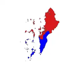 Location in Kawthaung district | |
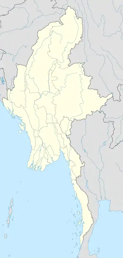  Bokepyin Township Location in Burma | |
| Coordinates: 11°16′34″N 98°46′37″E / 11.27611°N 98.77694°E | |
| Country | Burma |
| Region | Tanintharyi Region |
| District | Kawthaung District |
| Capital | Bokepyin |
| Area | |
| • Total | 6,651 km2 (2,568 sq mi) |
| Population (2014) | 81,718 |
| Time zone | UTC+6.30 (MST) |
Bokepyin Township (Burmese: ဘုတ်ပြင်းမြို့နယ်; Thai: บกเปี้ยน; RTGS: Bok Pian) is a township of Kawthaung District, Taninthayi Division, Myanmar. The capital town is Bokepyin.[1] The township covers an area of 6,651 km2 (2,568 sq mi), and had a population of 81,718 at the 2014 census.[2]
References
- ↑ GoogleEarth
- ↑ CityPopulation.de. "KAWTHAUNG". Archived from the original on 19 January 2020. Retrieved 28 August 2020.
External links
Capital: Dawei | ||
| Dawei District |   | |
| Kawthaung District |
| |
| Myeik District | ||
| Main cities and towns | ||
This article is issued from Wikipedia. The text is licensed under Creative Commons - Attribution - Sharealike. Additional terms may apply for the media files.