Buffalo | |
|---|---|
Census-designated place (CDP) | |
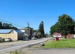 Kentucky Route 61 in Buffalo | |
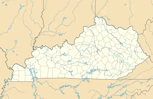  Buffalo | |
| Coordinates: 37°30′43″N 85°41′55″W / 37.51194°N 85.69861°W | |
| Country | United States |
| State | Kentucky |
| County | LaRue |
| Area | |
| • Total | 1.18 sq mi (3.06 km2) |
| • Land | 1.18 sq mi (3.06 km2) |
| • Water | 0.00 sq mi (0.00 km2) |
| Elevation | 748 ft (228 m) |
| Population (2020) | |
| • Total | 571 |
| • Density | 483.49/sq mi (186.62/km2) |
| Time zone | UTC-5 (Eastern (EST)) |
| • Summer (DST) | UTC-4 (EDT) |
| Area code | 270 |
| GNIS feature ID | 488299[2] |
Buffalo is an unincorporated community and census-designated place (CDP) in southern LaRue County, Kentucky, United States. Its population was 498 as of the 2010 census.[3] It lies along Kentucky Route 61 south of the city of Hodgenville, the county seat of LaRue County.[4] Its elevation is 748 feet (228 m), and it is located at 37°30′43″N 85°41′55″W / 37.51194°N 85.69861°W (37.5120048, -85.6985728).[2] Although Buffalo is unincorporated, it has a post office, with the ZIP code of 42716.[5]
Demographics
| Census | Pop. | Note | %± |
|---|---|---|---|
| 2020 | 571 | — | |
| U.S. Decennial Census[6] | |||
References
- ↑ "2020 U.S. Gazetteer Files". United States Census Bureau. Retrieved March 18, 2022.
- 1 2 "Francisville". Geographic Names Information System. United States Geological Survey, United States Department of the Interior.
- ↑ "U.S. Census website". United States Census Bureau. Retrieved May 14, 2011.
- ↑ Rand McNally. The Road Atlas '08. Chicago: Rand McNally, 2008, p. 42.
- ↑ Zip Code Lookup Archived June 15, 2011, at the Wayback Machine
- ↑ "Census of Population and Housing". Census.gov. Retrieved June 4, 2016.
Municipalities and communities of LaRue County, Kentucky, United States | ||
|---|---|---|
| Cities | 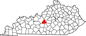 Location of LaRue County, Kentucky | |
| CDPs | ||
| Other unincorporated communities | ||
| Footnotes | ‡This populated place also has portions in an adjacent county or counties | |
This article is issued from Wikipedia. The text is licensed under Creative Commons - Attribution - Sharealike. Additional terms may apply for the media files.