36°29′18″N 119°59′07″W / 36.48833°N 119.98528°W
Burrel | |
|---|---|
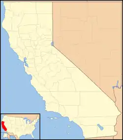  Burrel Location in California  Burrel Burrel (the United States) | |
| Coordinates: 36°29′18″N 119°59′07″W / 36.48833°N 119.98528°W | |
| Country | United States |
| State | California |
| County | Fresno County |
| Elevation | 203 ft (62 m) |
| ZIP code | 93607[2] |
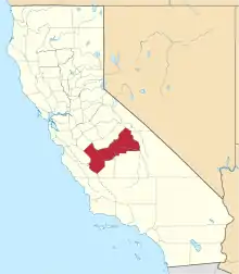
Burrel (formerly, Burrell) is an unincorporated community in Fresno County, California.[1] It is located 30 miles (48 km) southwest of Fresno,[3] at an elevation of 203 feet (62 m).[1]
Burrel is located midway between California State Route 99 and Interstate 5.[4]
The place is named for Cuthbert Burrel, owner of a nearby ranch.[3] In the 1850s and 1860s, nearby Elkhorn Station functioned as a stage stop.[3] A post office was established at Burrel in 1912,[3] but was eventually shut down, with mail now routed through nearby Riverdale. By 1971, Burrel had only 43 residents, a store, and a post office.[5]
Burrel's only school is Burrel Union Elementary, which is Kindergarten through 8th grades. Students in the district usually attend high school in Riverdale.
References
- 1 2 3 U.S. Geological Survey Geographic Names Information System: Burrel, California
- ↑ "Burrel ZIP Code". zipdatamaps.com. 2022. Retrieved November 11, 2022.
- 1 2 3 4 Durham, David L. (1998). California's Geographic Names: A Gazetteer of Historic and Modern Names of the State. Clovis, Calif.: Word Dancer Press. p. 1009. ISBN 1-884995-14-4.
- ↑ Burrel, California CA Community Profile: City Data, Resources, Maps
- ↑ Laughnan, Woody (May 26, 1971). "Around Here". The Fresno Bee. Fresno, CA. Retrieved November 28, 2023.