Raul Arias Espinoza Airport Contadora Airport | |||||||||||
|---|---|---|---|---|---|---|---|---|---|---|---|
| Summary | |||||||||||
| Airport type | Public | ||||||||||
| Serves | Contadora Island, Panama | ||||||||||
| Elevation AMSL | 43 ft / 13 m | ||||||||||
| Coordinates | 8°37′43″N 79°02′04″W / 8.62861°N 79.03444°W | ||||||||||
| Map | |||||||||||
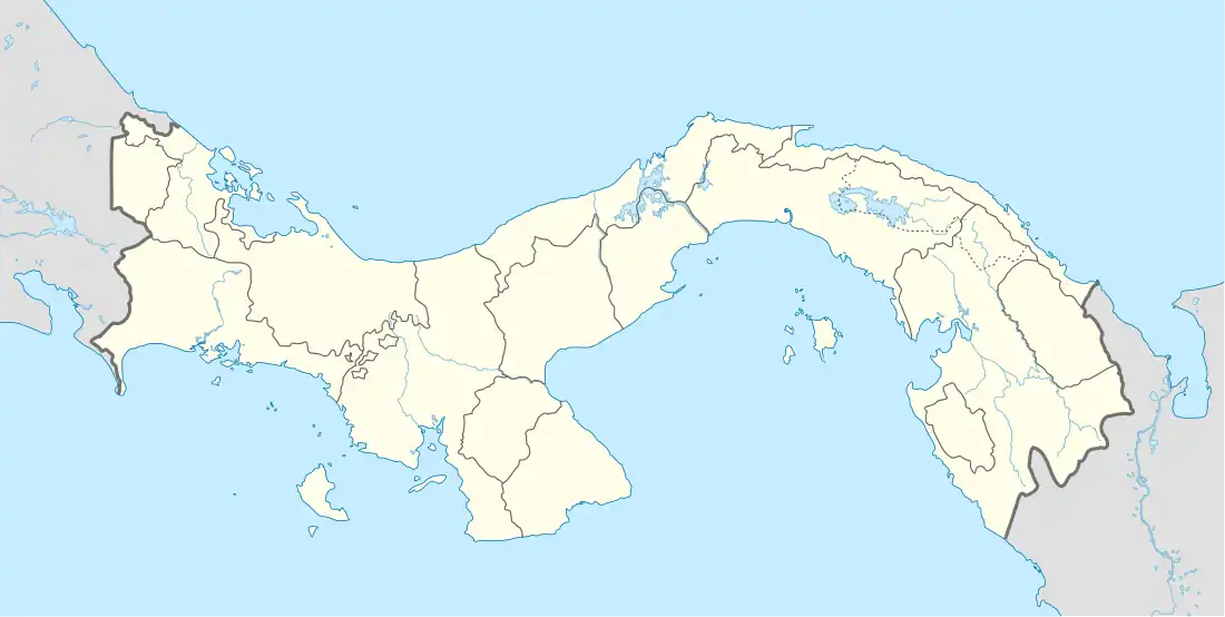  MPRA Location of the airport in Panama | |||||||||||
| Runways | |||||||||||
| |||||||||||
Raul Arias Espinoza Airport (Spanish: Aeropuerto de Contadora) (IATA: OTD, ICAO: MPRA) is a domestic airport serving Contadora Island, in Panama's Pearl Islands archipelago.
The runway crosses the width of the island. Approaches to either end are over the water. There is a tight parking apron on the north end.
The Taboga Island VOR-DME (Ident: TBG) is located 32.7 nautical miles (61 km) west-northwest of the airport. The Tocumen VOR-DME (Ident: TUM) is located 33.4 nautical miles (62 km) northwest of the airport.[3][4]
Airlines and destinations
| Airlines | Destinations |
|---|---|
| Air Panama | Panama City–Albrook |
See also


References
- ↑ "Raul Arias Espinoza Airport". SkyVector. Retrieved 12 November 2018.
- ↑ Google Maps - Contadora
- ↑ "Tocumen VOR". Our Airports. Retrieved 12 November 2018.
- ↑ "Taboga Island VOR". Our Airports. Retrieved 12 November 2018.
External links
This article is issued from Wikipedia. The text is licensed under Creative Commons - Attribution - Sharealike. Additional terms may apply for the media files.