| Cornwall Glacier | |
|---|---|
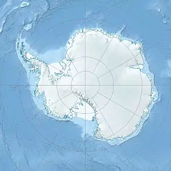 Location of Cornwall Glacier in Antarctica | |
| Location | Coats Land |
| Coordinates | 80°47′S 26°16′W / 80.783°S 26.267°W / -80.783; -26.267 |
| Length | 9 nmi (17 km; 10 mi) |
| Thickness | unknown |
| Terminus | Shackleton Range |
| Status | unknown |
Cornwall Glacier (80°47′S 26°16′W / 80.783°S 26.267°W / -80.783; -26.267) is a glacier 9 nautical miles (17 km) long, flowing south from Crossover Pass in the Shackleton Range to join Recovery Glacier east of Ram Bow Bluff. It was first mapped in 1957 by the Commonwealth Trans-Antarctic Expedition, and named for General Sir James Handyside Marshall-Cornwall, a member of the Committee of Management of the Commonwealth Trans-Antarctic Expedition, 1955–58.[1][2]
See also
References
- ↑ "Cornwall Glacier". Geographic Names Information System. United States Geological Survey, United States Department of the Interior. Retrieved 26 November 2011.
- ↑ "Cornwall Glacier, Antarctica". Geographical Names. Retrieved 25 January 2018.
![]() This article incorporates public domain material from "Cornwall Glacier". Geographic Names Information System. United States Geological Survey.
This article incorporates public domain material from "Cornwall Glacier". Geographic Names Information System. United States Geological Survey.
| Types | |||||||
|---|---|---|---|---|---|---|---|
| Anatomy | |||||||
| Processes | |||||||
| Measurements | |||||||
| Volcanic relations | |||||||
| Landforms |
| ||||||
| |||||||
Glaciers of Coats Land | |
|---|---|
This article is issued from Wikipedia. The text is licensed under Creative Commons - Attribution - Sharealike. Additional terms may apply for the media files.