Curry
An Choraidh | |
|---|---|
Village | |
.jpg.webp) The N17 road passes through Curry | |
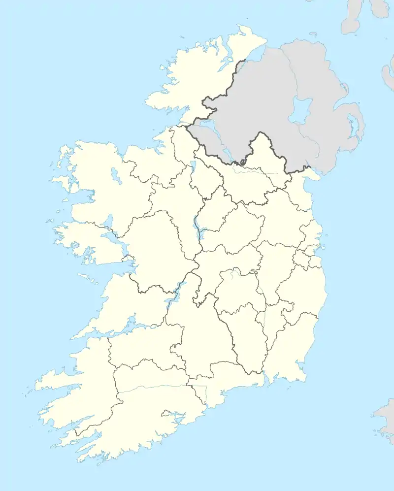  Curry Location in Ireland | |
| Coordinates: 54°00′04″N 8°46′23″W / 54.001°N 8.773°W | |
| Country | Ireland |
| Province | Connacht |
| County | County Sligo |
| Time zone | UTC+0 (WET) |
| • Summer (DST) | UTC-1 (IST (WEST)) |
| Irish grid reference | G493060 |
Curry (Irish: An Choraidh)[1] is a village and townland in County Sligo, Ireland.[2] The townland has an area of approximately 3.9 square kilometres (1.5 sq mi),[2] and had a population of 148 people as of the 2011 census.[3]
The local Roman Catholic church (the Church of the Immaculate Conception) was built c. 1870,[4] and the former national school (now disused) was built in 1883.[5]
References
- ↑ "An Choraidh / Curry". logainm.ie. Irish Placenames Database. Retrieved 11 February 2021.
- 1 2 "Curry Townland, Co. Sligo". townlands.ie. Townlands of Ireland. Retrieved 11 February 2021.
- ↑ "CD169 - Sligo Population by Private Households, Occupied and Vacancy Rate by Townlands, CensusYear and Statistic". data.gov.ie. Central Statistics Office. 2011. Retrieved 11 February 2021.
- ↑ "Church of the Immaculate Conception, Curry, Sligo". buildingsofireland.ie. National Inventory of Architectural Heritage. Retrieved 11 February 2021.
- ↑ "Curry National School, Curry, Sligo". buildingsofireland.ie. National Inventory of Architectural Heritage. Retrieved 11 February 2021.
Places in County Sligo | ||
|---|---|---|
| Towns |  | |
| Villages and townlands |
| |
| Baronies | ||
| Islands and Peninsulas | ||
| ||
This article is issued from Wikipedia. The text is licensed under Creative Commons - Attribution - Sharealike. Additional terms may apply for the media files.