Dumbriguda | |
|---|---|
.svg.png.webp)  Dumbriguda Location in Andhra Pradesh, India 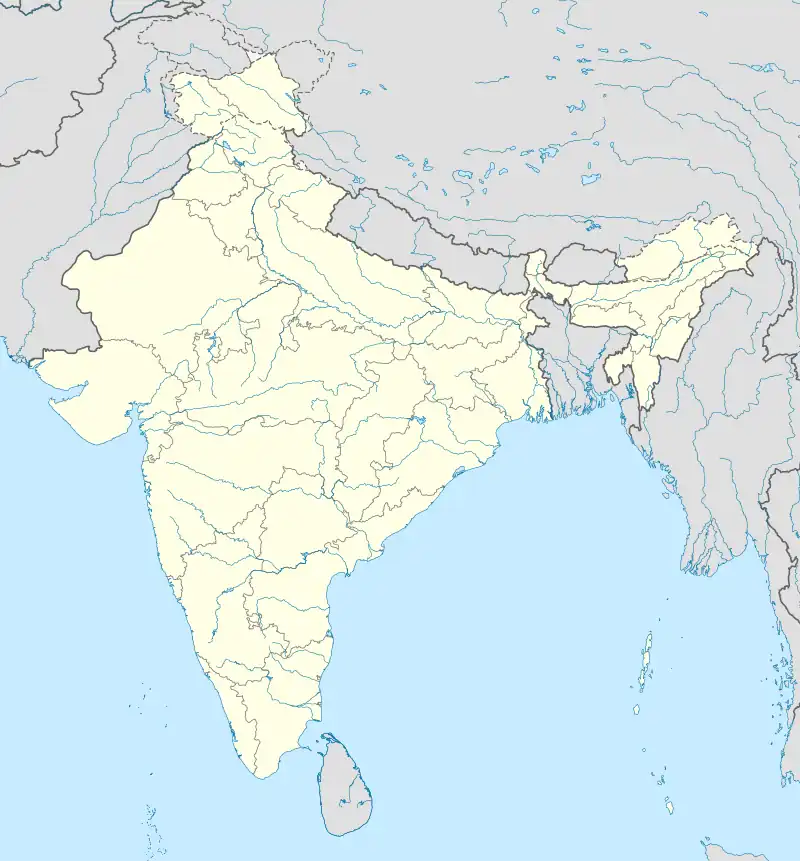 Dumbriguda Dumbriguda (India) | |
| Coordinates: 18°17′17″N 82°47′31″E / 18.288058°N 82.79195°E | |
| Country | India |
| State | Andhra Pradesh |
| District | Alluri Sitharama Raju |
| Languages | |
| • Official | Telugu |
| Time zone | UTC+5:30 (IST) |
| PIN | 532 xxx |
| Telephone code | 91–8936 |
| Vehicle Registration | AP31 (Former) AP39 (from 30 January 2019)[1] |
Dumbriguda is a village and Mandal in the Sankaram forest block of Alluri Sitharama Raju district in the state of Andhra Pradesh in India.[2]
Dumbriguda, situated in the Visakhapatnam District of Andhra Pradesh, is both a town and a mandal. In India, a mandal functions as a sub-division within a district, with responsibilities that encompass the administration and revenue collection for a specific geographic area within the district. Mandals are integral components of the local governance framework and play a pivotal role in facilitating the development and management of their respective local communities.
References
- ↑ "New 'AP 39' code to register vehicles in Andhra Pradesh launched". The New Indian Express. Vijayawada. 31 January 2019. Retrieved 9 June 2019.
- ↑ "Mandal wise list of villages in Visakhapatnam district" (PDF). Chief Commissioner of Land Administration. National Informatics Centre. Archived from the original (PDF) on 19 March 2015. Retrieved 6 March 2016.
This article is issued from Wikipedia. The text is licensed under Creative Commons - Attribution - Sharealike. Additional terms may apply for the media files.