Egikal
Эгикал | |
|---|---|
| Other transcription(s) | |
| • Ingush | Аьгекхаьлл |
 | |
Location of Egikal | |
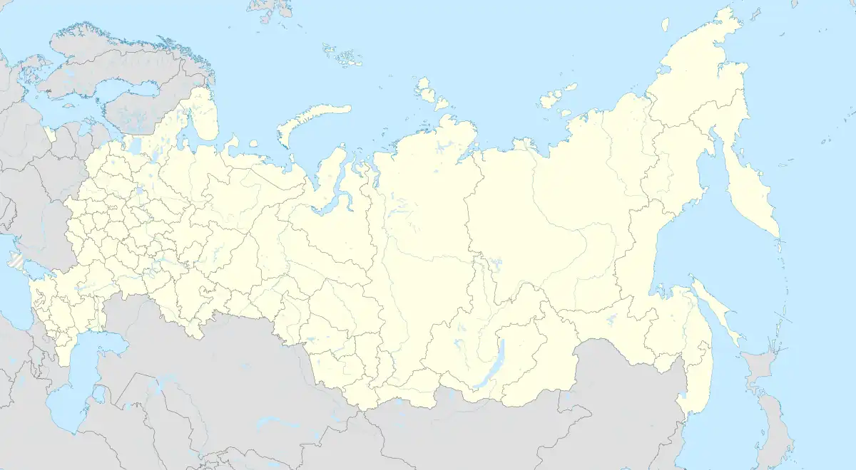  Egikal Location of Egikal 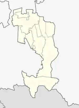 Egikal Egikal (Republic of Ingushetia) | |
| Coordinates: 42°50′01″N 44°55′05″E / 42.83361°N 44.91806°E | |
| Country | Russia |
| Federal subject | Ingushetia |
| Population | |
| • Total | 5 |
| • Subordinated to | Dzheyrakhsky District |
| Time zone | UTC+3 (MSK  [2]) |
| Postal code(s)[3] | 386430 |
| OKTMO ID | 26620450146 |
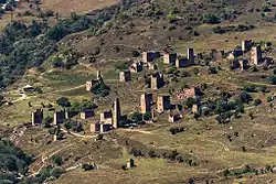
Egikal (Russian: Эгикал; Ingush: Аьге-Кхаьлла, romanized: Äge-Qälla, lit. 'Settlement of Äge') is an ancient city-settlement in the Dzheyrakhsky District of Ingushetia. It is part of the rural settlement (administrative center) of Guli.[4] On its territory are many cultural objects of ancient and medieval Ingush architecture: cyclopean tower-type dwellings, five combat towers (Ingush: вӀов, vhóv), six semi-combat and fifty residential towers (Ingush: гӀала, ghāla). There are also a large number of different types of burial grounds (106 crypt burial grounds, 1 mausoleum) and three sanctuaries.[5] Currently, these objects and the entire territory of the settlement are included in the Dzheyrakh-Assa State Historical-Architectural and Natural Museum-Reserve and are under state protection.
Geography
It is located 85 km south of the capital Magas and 25 km east of the district center Dzheyrakh. The nearest settlements are: in the north — Barkhane and Tori, in the east — Targim, in the southeast — Khamkhi, in the west — Leymi and Ozig.[6]
Demographics
In 1874, 1883, 1890, 1914 and 1926 censuses, the population of Egikal consisted entirely of ethnic Ingush people.[7][8][9][10][11]
References
- ↑ Russian Federal State Statistics Service (2011). Всероссийская перепись населения 2010 года. Том 1 [2010 All-Russian Population Census, vol. 1]. Всероссийская перепись населения 2010 года [2010 All-Russia Population Census] (in Russian). Federal State Statistics Service.
- ↑ "Об исчислении времени". Официальный интернет-портал правовой информации (in Russian). 3 June 2011. Retrieved 19 January 2019.
- ↑ Почта России. Информационно-вычислительный центр ОАСУ РПО. (Russian Post). Поиск объектов почтовой связи (Postal Objects Search) (in Russian)
- ↑ "ОБ УСТАНОВЛЕНИИ ГРАНИЦ МУНИЦИПАЛЬНЫХ ОБРАЗОВАНИЙ РЕСПУБЛИКИ ИНГУШЕТИЯ И НАДЕЛЕНИИ ИХ СТАТУСОМ СЕЛЬСКОГО, ГОРОДСКОГО ПОСЕЛЕНИЯ, МУНИЦИПАЛЬНОГО РАЙОНА И ГОРОДСКОГО ОКРУГА от 23 февраля 2009 - docs.cntd.ru". docs.cntd.ru.
- ↑ Чахкиев 2003, pp. 132–133.
- ↑ "Карта горной Ингушетии". Открытый Кавказ (in Russian).
- ↑ Терская область. Списокъ населенныхъ мѣстъ по свѣдѣніямъ 1874 года 1878, pp. 24 (PDF).
- ↑ Списокъ населенныхъ мѣстъ Терской области: По свѣдѣніям къ 1-му января 1883 года 1885, pp. 17.
- ↑ Статистическиія таблицы населенныхъ мѣстъ Терской области 1890, p. 54.
- ↑ Списокъ населенныхъ мѣстъ Терской области: (По даннымъ къ 1-му іюля 1914 года) 1915, pp. 342–343.
- ↑ Поселенные итоги переписи 1926 года по Северо-Кавказскому краю 1929, p. 406.
Bibliography
- Чахкиев, Д. Ю. (2003). Алироев, И. А. (ed.). Древности горной Ингушетии [Antiquities of Mountainous Ingushetia] (in Russian). Vol. 1. Назрань.
{{cite book}}: CS1 maint: location missing publisher (link) - Зейдлиц, Н. (1878). Терская область. Списокъ населенныхъ мѣстъ по свѣдѣніямъ 1874 года [Terek region. List of populated places according to 1874]. Списки населенныхъ мѣстъ Кавказскаго края (in Russian) (1st ed.). Тифлисъ: Типографія Главнаго управленіи намѣстника Кавказскаго. pp. 1–81.
- Терскій Областной Статистическій Комитет (1885). Благовѣщенскій, Н. А. (ed.). Списокъ населенныхъ мѣстъ Терской области: По свѣдѣніям къ 1-му января 1883 года [List of populated areas of the Terek region: According to information on January 1st of 1883] (in Russian). Владикавказъ: Типографія Терскаго Областнаго Правленія. pp. 1–78.
- Терскій Областной Статистическій Комитет (1890). Максимов, Е. (ed.). Сунженскій отдѣл [Sunzhensky Otdel]. Статистическиія таблицы населенныхъ мѣстъ Терской области (in Russian). Vol. 1. Issue 1. Владикавказъ: Типографія Терскаго Областнаго Правленія. pp. 1–85.
- Терскій Областной Статистическій Комитет (1915). Гортинскій, С. П. (ed.). Списокъ населенныхъ мѣстъ Терской области: (По даннымъ къ 1-му іюля 1914 года) [List of populated places in the Terek region: (as of July 1, 1914)] (in Russian). Владикавказъ: Электропечатня Типографія Терскаго Областнаго Правленія. pp. 2, 15–459.
- Северо-Кавказское кравое статистическое управление (1929). Поселенные итоги переписи 1926 года по Северо-Кавказскому краю [Settled results of the 1926 census in the North Caucasus region] (in Russian). Ростов-на-Дону: Отдел переписи. pp. 1–544.