Ermerveen | |
|---|---|
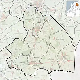  Ermerveen Location in province of Drenthe in the Netherlands 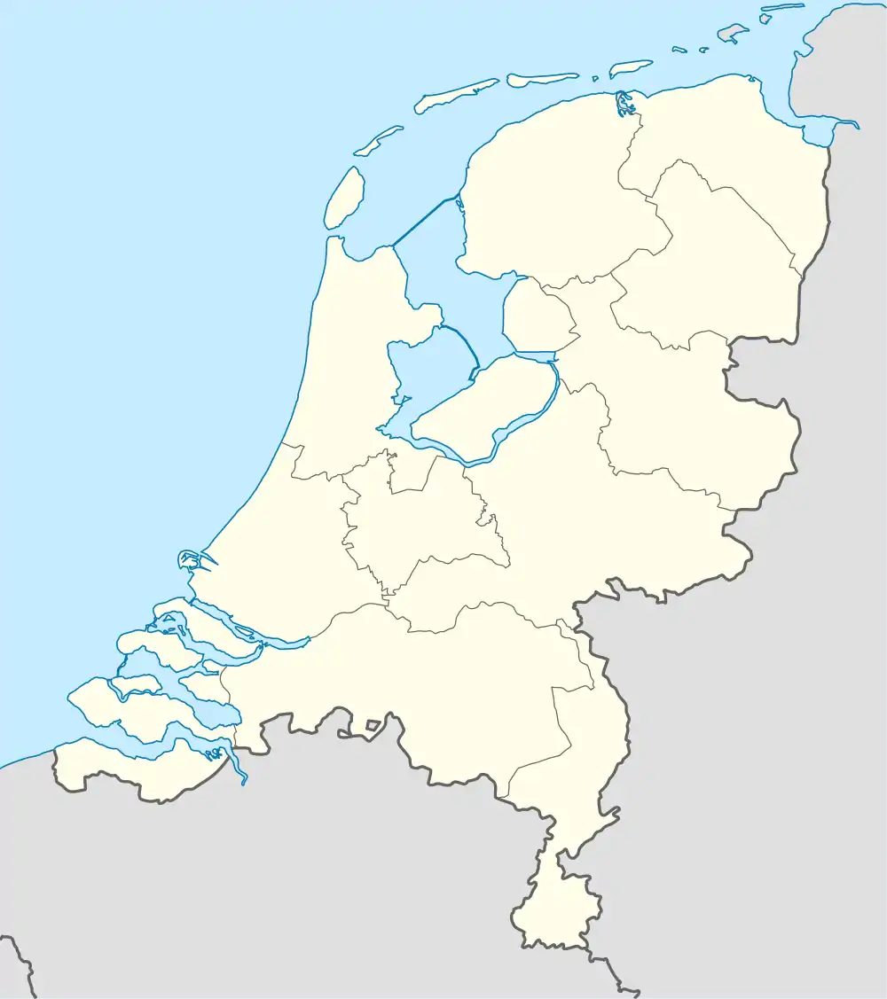 Ermerveen Ermerveen (Netherlands) | |
| Coordinates: 52°44′06″N 6°50′31″E / 52.7349°N 6.8419°E | |
| Country | Netherlands |
| Province | Drenthe |
| Municipality | Emmen |
| Area | |
| • Total | 0.43 km2 (0.17 sq mi) |
| Elevation | 15 m (49 ft) |
| Population (2021)[1] | |
| • Total | 20 |
| • Density | 47/km2 (120/sq mi) |
| Time zone | UTC+1 (CET) |
| • Summer (DST) | UTC+2 (CEST) |
| Postal code | 7844[1] |
| Dialing code | 0591 |
Ermerveen is a hamlet in the Netherlands and it is part of the Emmen municipality in Drenthe.
Ermerveen is a statistical entity,[1] however the postal authorities have placed it under Veenoord.[3] It was first mentioned in the 1850s as Het ErmerVeen, and means "the bog near Erm.[4] It is located outside the build-up area.[5]
References
- 1 2 3 4 "Kerncijfers wijken en buurten 2021". Central Bureau of Statistics. Retrieved 10 March 2022.
- ↑ "Postcodetool for 7844KA". Actueel Hoogtebestand Nederland (in Dutch). Het Waterschapshuis. Retrieved 11 March 2022.
- ↑ "Postcode 7844 in Veenoord". Postcode bij adres (in Dutch). Retrieved 11 March 2022.
- ↑ "Ermerveen - (geografische naam)". Etymologiebank (in Dutch). Retrieved 11 March 2022.
- ↑ "Ermerveen". Plaatsengids (in Dutch). Retrieved 11 March 2022.
This article is issued from Wikipedia. The text is licensed under Creative Commons - Attribution - Sharealike. Additional terms may apply for the media files.