Fay, Oklahoma | |
|---|---|
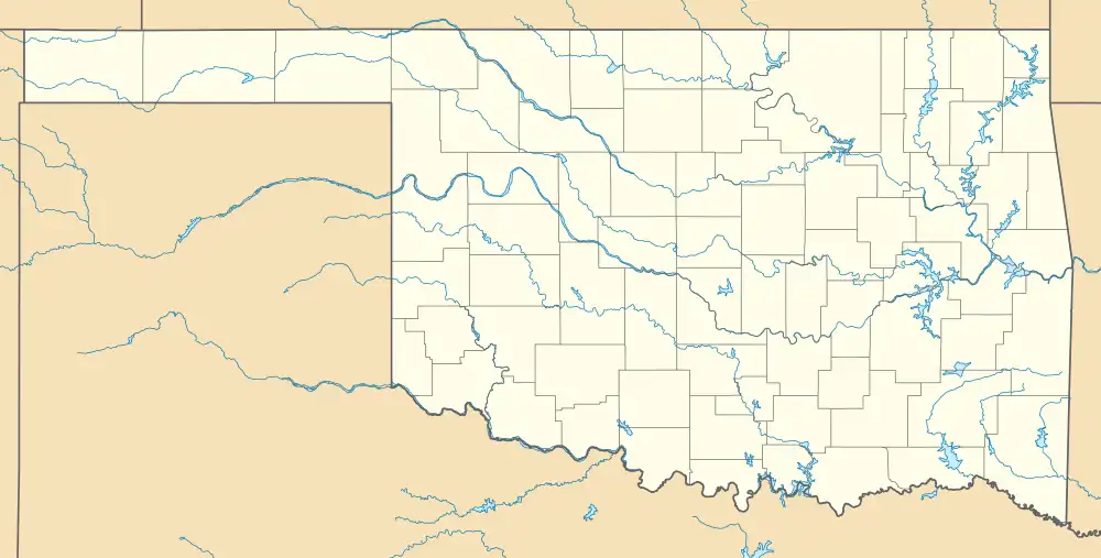  Fay Location within the state of Oklahoma 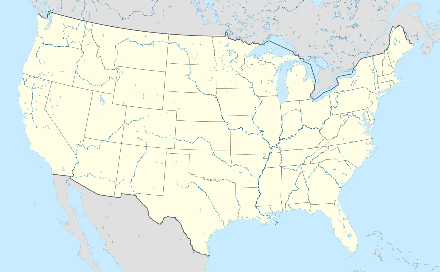 Fay Fay (the United States) | |
| Coordinates: 35°48′58″N 98°39′31″W / 35.81611°N 98.65861°W | |
| Country | United States |
| State | Oklahoma |
| County | Dewey |
| Area | |
| • Total | 0.50 sq mi (1.29 km2) |
| • Land | 0.50 sq mi (1.29 km2) |
| • Water | 0.00 sq mi (0.00 km2) |
| Elevation | 1,696 ft (517 m) |
| Population (2020) | |
| • Total | 32 |
| • Density | 64.00/sq mi (24.71/km2) |
| Time zone | UTC-6 (Central (CST)) |
| • Summer (DST) | UTC-5 (CDT) |
| FIPS code | 40-25700 |
| GNIS feature ID | 2805315[2] |
Fay is an unincorporated rural village located on State Highway 33 in the extreme southeastern corner of Dewey County, Oklahoma, United States. There is a grainery at Fay, a small convenience grocery, and a community hall with auditorium. Also located at Fay is the headquarters of Indian Records Inc.
History
Platted along the St. Louis-San Francisco Railway line, the Fay Post Office opened April 19, 1894. Fay was named after Fay Fisco, the son of the first postmaster.
Demographics
| Census | Pop. | Note | %± |
|---|---|---|---|
| 2020 | 32 | — | |
| U.S. Decennial Census[3] | |||
References
- ↑ "ArcGIS REST Services Directory". United States Census Bureau. Retrieved September 20, 2022.
- 1 2 U.S. Geological Survey Geographic Names Information System: Fay, Oklahoma
- ↑ "Census of Population and Housing". Census.gov. Retrieved June 4, 2016.
Sources
- Shirk, George H. Oklahoma Place Names. Norman: University of Oklahoma Press, 1987. ISBN 0-8061-2028-2.
Municipalities and communities of Dewey County, Oklahoma, United States | ||
|---|---|---|
| City | 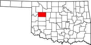 Dewey County map | |
| Towns | ||
| CDP | ||
| Other community | ||
This article is issued from Wikipedia. The text is licensed under Creative Commons - Attribution - Sharealike. Additional terms may apply for the media files.