| Illington | |
|---|---|
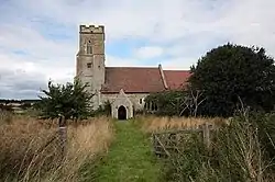 Saint Andrew Parish Church, Illington | |
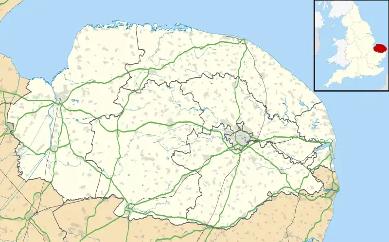  Illington Location within Norfolk | |
| OS grid reference | TL9489 |
| • London | 92.3 miles (148.5 km) |
| Civil parish | |
| District | |
| Shire county | |
| Region | |
| Country | England |
| Sovereign state | United Kingdom |
| Post town | THETFORD |
| Postcode district | IP24 |
| Dialling code | 01953 |
| Police | Norfolk |
| Fire | Norfolk |
| Ambulance | East of England |
Illington is a village and former civil parish, now in the parish of Wretham in the Breckland district, in the county of Norfolk, England.[1] The village is 6.2 miles north east of Thetford, 24 miles west south west of Norwich and 92.3 miles north east of London.[2] The nearest railway station is at Thetford for the Breckland Line which runs between Cambridge and Norwich. The nearest airport is Norwich International Airport. In 1931 the parish had a population of 53.[3] On 1 April 1935 the parish was abolished to form Wretham.[4]
History
The villages name means 'farm/settlement of Illa's people' or perhaps, 'farm/settlement connected with Illa'.[5]
Illington has an entry in the Domesday Book of 1085.[6] In the great book Illington is recorded by the name ‘’Illinketune’’. The main landholder is William de Warenne
References
- ↑ OS Explorer Map 236 - King’s Lynn, Downham Market & Swaffham. ISBN 978-0-319-46408-3.
- ↑ County A to Z Atlas, Street & Road maps Norfolk, ISBN 978-1-84348-614-5
- ↑ "Population statistics Illington AP/CP through time". A Vision of Britain through Time. Retrieved 9 September 2022.
- ↑ "Illington AP/CP through time: Census tables with data for the Parish-level Unit". A Vision of Britain through Time. GB Historical GIS / University of Portsmouth. Retrieved 29 June 2017.
- ↑ "Key to English Place-names".
- ↑ The Domesday Book, Englands Heritage, Then and Now, Editor: Thomas Hinde,Norfolk page 191, Illington, ISBN 1-85833-440-3
External links

- Map sources for Illington