Keats, Kansas | |
|---|---|
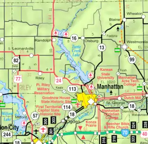 KDOT map of Riley County (legend) | |
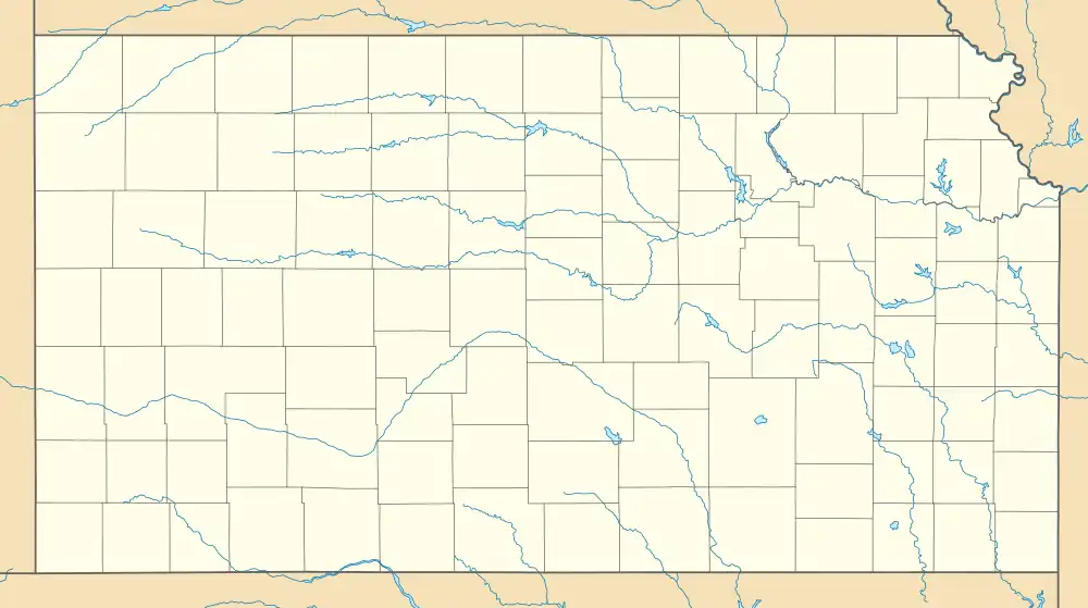  Keats  Keats | |
| Coordinates: 39°13′10″N 96°42′27″W / 39.21944°N 96.70750°W[1] | |
| Country | United States |
| State | Kansas |
| Counties | Riley |
| Founded | 1860, 1887 |
| Named for | John Keats |
| Elevation | 1,122 ft (342 m) |
| Population | |
| • Total | 96 |
| Time zone | UTC-6 (CST) |
| • Summer (DST) | UTC-5 (CDT) |
| Area code | 785 |
| FIPS code | 20-36200 |
| GNIS ID | 2804656[1] |
Keats is an unincorporated community in Wildcat Township, Riley County, Kansas, United States.[1] As of the 2020 census, the population of the community and nearby areas was 96.[2] It is located five miles west of Manhattan.
History
Keats was founded in 1887, its name suggested by a railroad official who regarded the poet John Keats as a favorite. Keats grew from a smaller town named Wildcat with origins dating to 1860.[3]
Demographics
| Census | Pop. | Note | %± |
|---|---|---|---|
| 2020 | 96 | — | |
| U.S. Decennial Census | |||
For statistical purposes, the United States Census Bureau has defined Keats as a census-designated place (CDP).
Education
The community is served by Riley County USD 378 public school district.
References
- 1 2 3 4 U.S. Geological Survey Geographic Names Information System: Keats, Kansas
- 1 2 "Profile of Keats, Kansas (CDP) in 2020". United States Census Bureau. Archived from the original on April 26, 2022. Retrieved April 26, 2022.
- ↑ "History of Riley County". Riley County, Kansas. Retrieved August 22, 2014.
Further reading
External links
Municipalities and communities of Riley County, Kansas, United States | ||
|---|---|---|
| Cities | 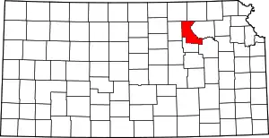 Map of Kansas highlighting Riley County | |
| Unincorporated communities | ||
| Footnotes | †This community is designated a Census-Designated Place (CDP) by the United States Census Bureau. ‡This community also has portions in an adjacent county or counties. | |
This article is issued from Wikipedia. The text is licensed under Creative Commons - Attribution - Sharealike. Additional terms may apply for the media files.