La Chapelle-devant-Bruyères | |
|---|---|
_%C3%A9glise.jpg.webp) The church in La Chapelle-devant-Bruyères | |
 Coat of arms | |
Location of La Chapelle-devant-Bruyères | |
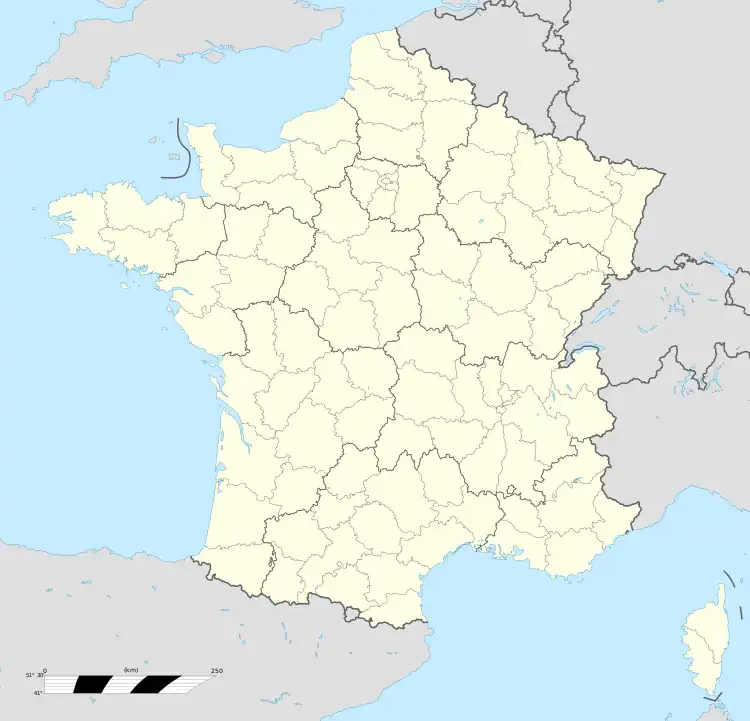  La Chapelle-devant-Bruyères 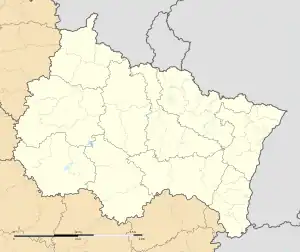 La Chapelle-devant-Bruyères | |
| Coordinates: 48°11′10″N 6°47′21″E / 48.1861°N 6.7892°E | |
| Country | France |
| Region | Grand Est |
| Department | Vosges |
| Arrondissement | Saint-Dié-des-Vosges |
| Canton | Gérardmer |
| Intercommunality | CA Saint-Dié-des-Vosges |
| Government | |
| • Mayor (2020–2026) | Jacques Valance[1] |
| Area 1 | 20.23 km2 (7.81 sq mi) |
| Population | 555 |
| • Density | 27/km2 (71/sq mi) |
| Time zone | UTC+01:00 (CET) |
| • Summer (DST) | UTC+02:00 (CEST) |
| INSEE/Postal code | 88089 /88600 |
| Elevation | 447–768 m (1,467–2,520 ft) (avg. 453 m or 1,486 ft) |
| 1 French Land Register data, which excludes lakes, ponds, glaciers > 1 km2 (0.386 sq mi or 247 acres) and river estuaries. | |
La Chapelle-devant-Bruyères (French pronunciation: [la ʃapɛl dəvɑ̃ bʁɥijɛʁ] ⓘ; literally "The Chapel before Bruyères") is a commune in the Vosges department in Grand Est in northeastern France.
See also
References
- ↑ "Répertoire national des élus: les maires" (in French). data.gouv.fr, Plateforme ouverte des données publiques françaises. 13 September 2022.
- ↑ "Populations légales 2020". The National Institute of Statistics and Economic Studies. 29 December 2022.

Wikimedia Commons has media related to La Chapelle-devant-Bruyères.
This article is issued from Wikipedia. The text is licensed under Creative Commons - Attribution - Sharealike. Additional terms may apply for the media files.