| Lingwood | |
|---|---|
 | |
  Lingwood Location within Norfolk | |
| Area | 1.08 km2 (0.42 sq mi) |
| Population | 2,719 (2011 census) |
| • Density | 2,518/km2 (6,520/sq mi) |
| OS grid reference | TG3608 |
| Civil parish | |
| District | |
| Shire county | |
| Region | |
| Country | England |
| Sovereign state | United Kingdom |
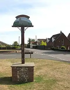
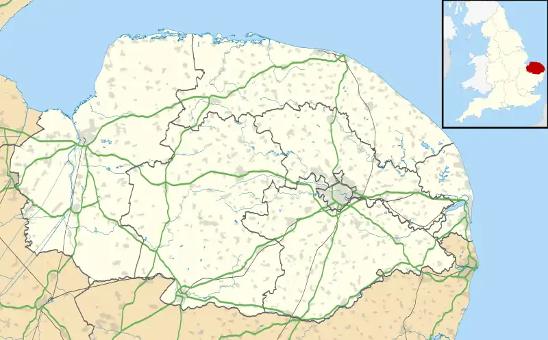
Lingwood is a village and former civil parish, 8 miles (13 km) east of Norwich,[1] now in the parish of Lingwood and Burlingham, in the Broadland district, in the county of Norfolk, England. In 2011 the built-up area had a population of 2,719[2] and the built-up area sub division had a population of 2,493.[3] In 1931 the parish had a population of 568.[4]
Features
Lingwood has a church called St Peter,[5] a pub called the Kings Head on Station Road,[6] a railway station on Station Road[7] and a village hall.[8] A parkrun takes place at the village hall every Saturday morning, at 9 am, and is run by local volunteers.[9]
History
The name "Lingwood" means 'Bank wood' or 'heather wood'[10] On 1 April 1935 the parish was abolished and merged with Burlingham.[11][12]
References
- ↑ "Distance from Lingwood [52.622174, 1.490106]". GENUKI. Retrieved 26 August 2019.
- ↑ UK Census (2011). "Local Area Report – Lingwood Built-up area (E34004902)". Nomis. Office for National Statistics. Retrieved 26 August 2019.
- ↑ UK Census (2011). "Local Area Report – Lingwood Built-up area sub division (E35000049)". Nomis. Office for National Statistics. Retrieved 26 August 2019.
- ↑ "Population Statistics Lingwood AP/CP through time". Vision of Britain. Retrieved 26 August 2019.
- ↑ "St Peter, Lingwood". Norfolk Churches. Retrieved 26 August 2019.
- ↑ "Kings Head, Lingwood". Kings Head. Retrieved 26 August 2019.
- ↑ "Lingwood". Greater Anglia. Retrieved 26 August 2019.
- ↑ "Lingwood Village Hall". Lingwood Village Hall. Retrieved 26 August 2019.
- ↑ "Course | Lingwood parkrun".
- ↑ "Lingwood Key to English Place-names". The University of Nottingham. Retrieved 26 August 2019.
- ↑ "Relationships and Changes Burlingham CP through time". A Vision of Britain through Time. Retrieved 26 August 2019.
- ↑ "BLOFIELD REGISTRATION DISTRICT". UKBMD. Retrieved 26 August 2019.
External links

- "Blofield Hundred: Lingwood". British History Online. Retrieved 26 August 2019.