| Llaneuddog | |
|---|---|
 | |
  Llaneuddog Location within Anglesey | |
| OS grid reference | SH 4665 8814 |
| • Cardiff | 138.8 mi (223.4 km) |
| • London | 217.8 mi (350.5 km) |
| Community | |
| Principal area | |
| Country | Wales |
| Sovereign state | United Kingdom |
| Post town | Dulas |
| Police | North Wales |
| Fire | North Wales |
| Ambulance | Welsh |
| UK Parliament | |
| Senedd Cymru – Welsh Parliament | |
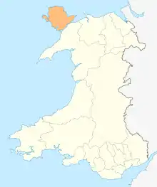
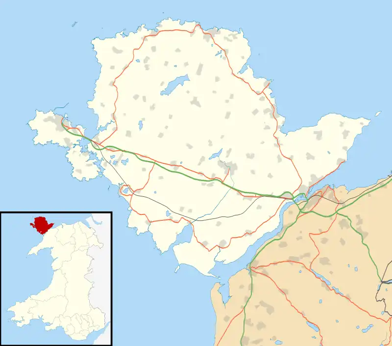
Llaneuddog is a hamlet in the community of Llaneilian, Anglesey, Wales. It lies along the A5025 road, between Brynrefail and Penysarn, near Dulas.[1] It belonged to the historical parish of Llanwenllwyfo,[2] now part of Llaneilian.[3] The hamlet takes its name from an ancient chapel to St Euddog which was in the vicinity of the A5025.[4] It was recorded in 1920 as having the stones re-used in farm buildings, and the water stoup used as a pig trough at nearby Lligwy. The presumed site is a small enclosure with a crescent-shaped bank thought to be the churchyard boundary.[5]
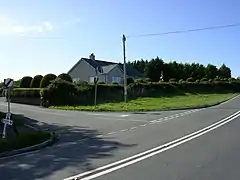
One of the prominent buildings near the Llaneuddog crossroads is Sardis Baptist Chapel. First built in 1834, it was rebuilt in 1905[6] at the height of the 1904–1905 Welsh revival.
The 1919 Memoirs of the Geological Survey of England & Wales suggests that in the early part of the 20th century there was a brickworks in the area.[7]
See also
References
- ↑ Google Maps (Map). Google.
- ↑ Baring-Gould, Sabine; Fisher, John (1908). The Lives of the British Saints: The Saints of Wales and Cornwall and Such Irish Saints as Have Dedications in Britain. For the honourable Society of cymmrodorion, by C. J. Clark. p. 467.
- ↑ "Llaneuddog". Vision of Britain. Retrieved 16 April 2016.
- ↑ The Cambro-Briton. J. Limbird. 1822. p. 203.
- ↑ Capel Llangadog (ID PRN2114). in the 'SMR' for Gwynedd Archaeological Trust (GAT)
- ↑ Sardis Baptist Chapel (ID NPRN11547). at the Royal Commission on the Ancient and Historical Monuments of Wales (RCAHMW)
- ↑ Memoirs of the Geological Survey [of] England & Wales. H.M. Stationery Office. 1919. p. 334.
- ↑ historicwales.gov.uk the map enabled portal for historic environment in Llaneilian. Accessed 15 November 2017