Martonyi | |
|---|---|
Village | |
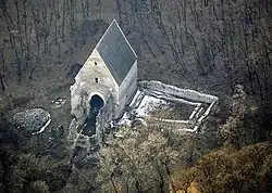 Aerial photo of Martonyi | |
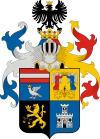
 Flag 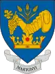 Coat of arms | |
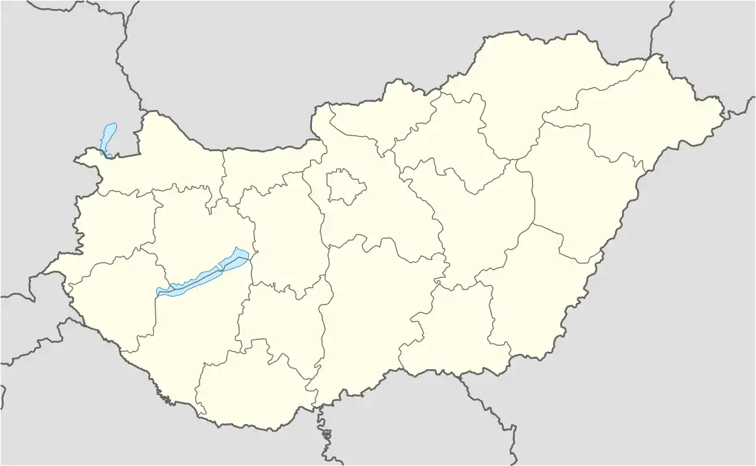  Martonyi Location of Martonyi | |
| Coordinates: 48°28′10″N 20°46′05″E / 48.46943°N 20.76811°E | |
| Country | Hungary |
| Region | Northern Hungary |
| County | Borsod-Abaúj-Zemplén |
| District | Edelény |
| Area | |
| • Total | 17.57 km2 (6.78 sq mi) |
| Population (1 January 2023)[1] | |
| • Total | 321 |
| • Density | 18/km2 (47/sq mi) |
| Time zone | UTC+1 (CET) |
| • Summer (DST) | UTC+2 (CEST) |
| Postal code | 3755 |
| Area code | (+36) 48 |
Martonyi is a village in Borsod-Abaúj-Zemplén County in northeastern Hungary.[2]
References
- ↑ Error: Unable to display the reference properly. See the documentation for details.
- ↑ Központi Statisztikai Hivatal (KSH) (in Hungarian)
This article is issued from Wikipedia. The text is licensed under Creative Commons - Attribution - Sharealike. Additional terms may apply for the media files.