Miflin, Alabama | |
|---|---|
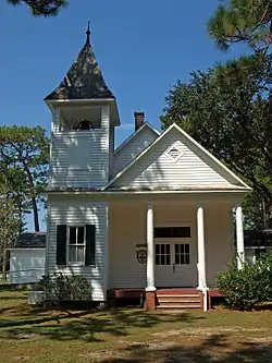 Swift Presbyterian Church | |
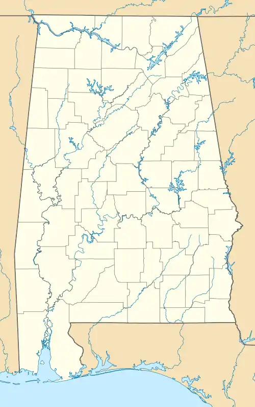  Miflin, Alabama 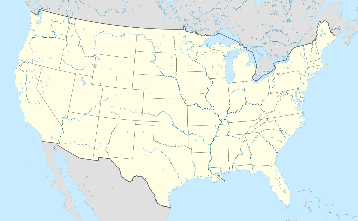 Miflin, Alabama | |
| Coordinates: 30°22′14″N 87°36′39″W / 30.37056°N 87.61083°W | |
| Country | United States |
| State | Alabama |
| County | Baldwin |
| Elevation | 36 ft (11 m) |
| Time zone | UTC-6 (Central (CST)) |
| • Summer (DST) | UTC-5 (CDT) |
| Area code | 251 |
| GNIS feature ID | 122716[1] |
Miflin is an unincorporated community in Baldwin County, Alabama, United States. Miflin is located along County Route 20 (Miflin Road) 5 miles (8.0 km) east-southeast of Foley.[2] The Swift Presbyterian Church, which is listed on the National Register of Historic Places, is located in Miflin.[3] A post office operated under the name Miflin from 1907 to 1951.[4] The community is likely named after the Miflin family, who owned land in the area.[5]
References
- ↑ "Miflin". Geographic Names Information System. United States Geological Survey, United States Department of the Interior.
- ↑ General Highway Map: Baldwin County, Alabama (PDF) (Map). Alabama Department of Transportation. 2010. Archived from the original (PDF) on August 19, 2013. Retrieved May 20, 2013.
- ↑ "National Register Information System". National Register of Historic Places. National Park Service. July 9, 2010.
- ↑ "Baldwin County". Jim Forte Postal History. Retrieved January 4, 2015.
- ↑ Foscue, Virginia (1989). Place Names in Alabama. Tuscaloosa: The University of Alabama Press. p. 93. ISBN 0-8173-0410-X.
Municipalities and communities of Baldwin County, Alabama, United States | ||
|---|---|---|
| Cities | 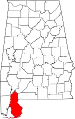 Map of Alabama highlighting Baldwin County | |
| Towns | ||
| CDPs | ||
| Other unincorporated communities | ||
| Ghost town | ||
This article is issued from Wikipedia. The text is licensed under Creative Commons - Attribution - Sharealike. Additional terms may apply for the media files.