| Montgomery Pass | |
|---|---|
  | |
| Elevation | 2,179 m (7,149 ft)[1] |
| Coordinates | 37°58′25″N 118°19′36″W / 37.97361°N 118.32667°W[1] |
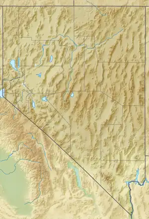
Montgomery Pass is a mountain pass on U.S. Route 6 in Mineral County, Nevada. The pass is near the Nevada/California border in Inyo National Forest.[1]

Carson and Colorado Railroad route as of 1931, showing Mt. Gomery
The populated place of Mount Montgomery is located east of the pass.[2] Mount Montgomery was also known as Mt. Gomery and Summit. Mt. Gomery was a station on the Carson and Colorado Railway. In 1940, Montgomery had a service station, a store and a bar.[3]
Nearby towns are Bishop and Bridgeport, California and Tonopah, Nevada. The nearest city is Carson City, Nevada, about 180 miles to the north.
There was a small casino near Montgomery Pass, but it burned down sometime before 2011.[4]
References
- 1 2 3 U.S. Geological Survey Geographic Names Information System: Montgomery Pass, Nevada
- ↑ U.S. Geological Survey Geographic Names Information System: Mount Montgomery
- ↑ Nevada: A Guide to the Silver State. Binfords & Mort. 1940. Retrieved February 9, 2019.
- ↑ "Abandoned Burned Out Montgomery Pass Casino And Motel Rooms". Youtube. Retrieved February 9, 2020.
This article is issued from Wikipedia. The text is licensed under Creative Commons - Attribution - Sharealike. Additional terms may apply for the media files.