| Mount Kirs | |
|---|---|
 | |
| Highest point | |
| Elevation | 2,725 m (8,940 ft) |
| Coordinates | 39°38′51″N 46°44′45″E / 39.64750°N 46.74583°E |
| Naming | |
| Native name |
|
| Geography | |
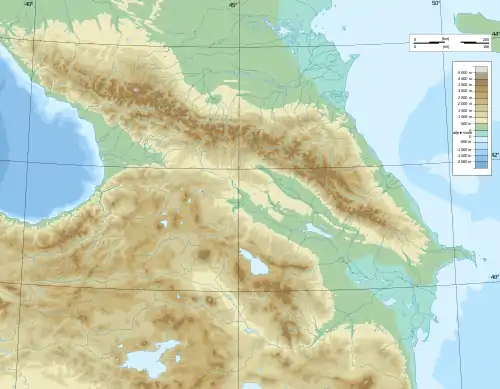 Mount Kirs Location of the mountain 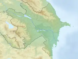 Mount Kirs Mount Kirs (Azerbaijan) | |
| Country | |
Mount Kirs (Azerbaijani: Böyük Kirs Dağı; Armenian: Մեծ Քիրս Լեռ, romanized: Mets K'irs Lerr) is the highest peak in the Karabakh Range of the Lesser Caucasus in Azerbaijan at an altitude of 2,725 metres. Before the 2020 Nagorno-Karabakh War, it was the highest mountain of the breakaway Republic of Arstakh.[1][2] It forms the border between the Khojavend and Shusha districts of Azerbaijan.
Gallery
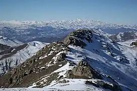
 Mount Kirs as seen from the Shusha District during winter.
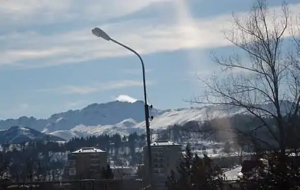 Mount Kirs as seen from the city of Shusha
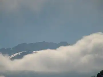
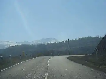 Mount Kirs as seen from a road
References
This article is issued from Wikipedia. The text is licensed under Creative Commons - Attribution - Sharealike. Additional terms may apply for the media files.