| Netherby Queensland | |||||||||||||||
|---|---|---|---|---|---|---|---|---|---|---|---|---|---|---|---|
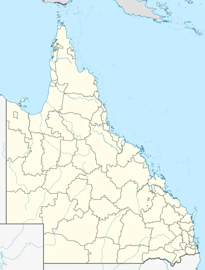  Netherby | |||||||||||||||
| Coordinates | 25°46′52″S 152°31′54″E / 25.7811°S 152.5316°E | ||||||||||||||
| Population | 39 (2016 census)[1] | ||||||||||||||
| • Density | 0.913/km2 (2.37/sq mi) | ||||||||||||||
| Postcode(s) | 4650 | ||||||||||||||
| Area | 42.7 km2 (16.5 sq mi) | ||||||||||||||
| Time zone | AEST (UTC+10:00) | ||||||||||||||
| LGA(s) | Fraser Coast Region | ||||||||||||||
| State electorate(s) | Gympie | ||||||||||||||
| Federal division(s) | Wide Bay | ||||||||||||||
| |||||||||||||||
Netherby is a rural locality in the Fraser Coast Region, Queensland, Australia.[2] In the 2016 census, Netherby had a population of 39 people.[1]
Geography
The Mary River forms the western and north-western boundaries.[3]
History
The locality presumably takes its name from its railway station,[2] which in turn was named by the Queensland Railways Department after the town in Scotland, thought to have some connection to a settler.[4]
Deborah Provisional School opened on 28 April 1885. On 1 January 1909, it became Deborah State School, but then closed on 31 December 1910. It reopened on 1 March 1921 as a half-time school in conjunction with Mount Urah Provisional School (meaning the two schools shared a single teacher). On 4 April 1927, the closure of Mount Urah School enabled Deborah State School to becomea full-time school once again. It closed on 5 June 1939.[5] The school was on Deborah Road (approx 25°47′05″S 152°29′27″E / 25.78460°S 152.49088°E).[6][7]
Facilities
Deborah Cemetery is at 751 Deborah Road (25°46′59″S 152°29′38″E / 25.7830°S 152.4940°E).[8][9]
References
- 1 2 Australian Bureau of Statistics (27 June 2017). "Netherby (SSC)". 2016 Census QuickStats. Retrieved 20 October 2018.
- 1 2 "Netherby – locality in Fraser Coast Region (entry 46662)". Queensland Place Names. Queensland Government. Retrieved 10 June 2019.
- ↑ Google (20 August 2021). "Netherby, Queensland" (Map). Google Maps. Google. Retrieved 20 August 2021.
- ↑ "Netherby – railway station in the Fraser Coast Region (entry 24069)". Queensland Place Names. Queensland Government. Retrieved 20 October 2019.
- ↑ Queensland Family History Society (2010), Queensland schools past and present (Version 1.01 ed.), Queensland Family History Society, ISBN 978-1-921171-26-0
- ↑ "Queensland Two Mile series sheet 2m110" (Map). Queensland Government. 1941. Archived from the original on 17 September 2023. Retrieved 13 September 2023.
- ↑ "Queensland Globe". State of Queensland. Retrieved 12 September 2023.
- ↑ "Cemeteries". Fraser Coast Regional Council. Archived from the original on 18 August 2023. Retrieved 28 October 2023.
- ↑ Google (28 October 2023). "Deborah Cemetery" (Map). Google Maps. Google. Retrieved 28 October 2023.