Podgora | |
|---|---|
 | |
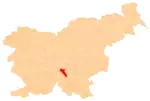
  Podgora Location in Slovenia | |
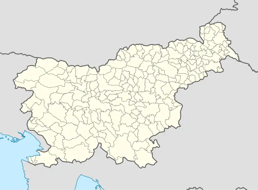
| Coordinates: 45°49′36.35″N 14°42′8.25″E / 45.8267639°N 14.7022917°E | |
| Country |  Slovenia Slovenia |
| Traditional region | Lower Carniola |
| Statistical region | Central Slovenia |
| Municipality | Dobrepolje |
| Area | |
| • Total | 3.35 km2 (1.29 sq mi) |
| Elevation | 438.9 m (1,440.0 ft) |
| Population (2020) | |
| • Total | 114 |
| • Density | 34/km2 (88/sq mi) |
| [1] | |
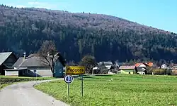
Podgora (pronounced [pɔdˈɡɔːɾa]) is a village in the Municipality of Dobrepolje in Slovenia. The area is part of the historical region of Lower Carniola. The municipality is now included in the Central Slovenia Statistical Region.[2]
Geography
Podgora is located in the northern part of the Dobrepolje karst polje. It lies in a transitional position between the edge of the polje and the steep slopes of the Little Mountains (Slovene: Mala gora) chain, with inclines up to 29.5°. It is the only village in the polje located almost entirely on Triassic rock. A major Dinaric fault runs past Podgora. The area is rich in springs, with five in Podgora alone. The largest and best-known spring is Žovkno Spring.[3] The other springs are Beč and Zajščica springs in the village itself, nearby Pri Koritu Spring, and Puhovka Spring in Puh Cave (Slovene: Puhova jama) just below the top of Grmada Hill (887 m).[4]
History
During the Second World War, there were several engagements near the village between Italian troops and Partisan forces in 1942. Italian troops burned a number of farms in the village.[4] On the night of 16 June 1945, eight civilians from the village were murdered and buried in the Mala Vas Mass Grave in neighboring Mala Vas.[5] On 21 October 1968 there was a major fire in the village, causing extensive destruction.[4]
Church
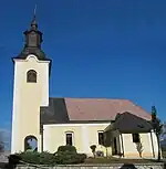
The local church is dedicated to Saint Nicholas and belongs to the Parish of Dobrepolje–Videm.[6] It was first mentioned in written sources in 1526.[4]
References
- ↑ Statistical Office of the Republic of Slovenia
- ↑ Dobrepolje municipal site
- ↑ Podgora skozi čas. Information sign posted in the village.
- 1 2 3 4 Savnik, Roman, ed. 1971. Krajevni leksikon Slovenije, vol. 2. Ljubljana: Državna založba Slovenije, p. 143.
- ↑ Mala Vas Mass Grave on Geopedia (in Slovene)
- ↑ "EŠD 1762". Registry of Immovable Cultural Heritage (in Slovenian). Ministry of Culture of the Republic of Slovenia. Retrieved 1 March 2011.
External links
| Settlements | Administrative seat: Videm
|  | ||||
|---|---|---|---|---|---|---|
| Landmarks |
| |||||
| Notable people |
| |||||