Ravenswaaij | |
|---|---|
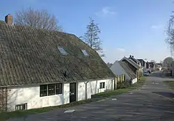 Street in Ravenswaaij | |
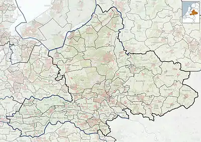  Ravenswaaij Location in the province of Gelderland  Ravenswaaij Ravenswaaij (Netherlands) | |
| Coordinates: 51°57′N 5°20′E / 51.950°N 5.333°E | |
| Country | Netherlands |
| Province | Gelderland |
| Municipality | Buren |
| Area | |
| • Total | 11.52 km2 (4.45 sq mi) |
| Elevation | 4 m (13 ft) |
| Population (2021)[1] | |
| • Total | 645 |
| • Density | 56/km2 (150/sq mi) |
| Time zone | UTC+1 (CET) |
| • Summer (DST) | UTC+2 (CEST) |
| Postal code | 4119[1] |
| Dialing code | 0345 |
Ravenswaaij is a village in the Dutch province of Gelderland. It is a part of the municipality of Buren, and lies about 10 km northwest of Tiel.
It was first mentioned in 1139 as Raueneswade, and means "fordable place of Raven (person)".[3] Ravenswaaij started along the Lek River. A linear settlement appeared on the river dike. The church was destroyed in 1573 by the Spanish troops. The current church dates from 1644.[4] In 1840, it was home to 368 people.[5]
Gallery
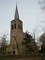 Saint Nicolas Church
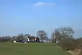 Farm in the overflow area of the Lek River
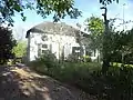 Farm in Ravenswaaij
References
- 1 2 3 "Kerncijfers wijken en buurten 2021". Central Bureau of Statistics. Retrieved 21 March 2022.
- ↑ "Postcodetool for 4119KX". Actueel Hoogtebestand Nederland (in Dutch). Het Waterschapshuis. Retrieved 21 March 2022.
- ↑ "Ravenswaaij". Etymologiebank (in Dutch). Retrieved 21 March 2022.
- ↑ Ronald Stenvert & Sabine Broekhoven (2000). "Ravenswaaij" (in Dutch). Zwolle: Waanders. ISBN 90 400 9406 3. Retrieved 21 March 2022.
- ↑ "Ravenswaaij". Plaatsengids (in Dutch). Retrieved 21 March 2022.

Wikimedia Commons has media related to Ravenswaaij.
This article is issued from Wikipedia. The text is licensed under Creative Commons - Attribution - Sharealike. Additional terms may apply for the media files.