Rotenturm an der Pinka | |
|---|---|
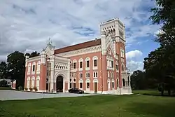 Rotenturm Castle | |
 Coat of arms | |
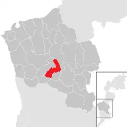 Location within Oberwart district | |
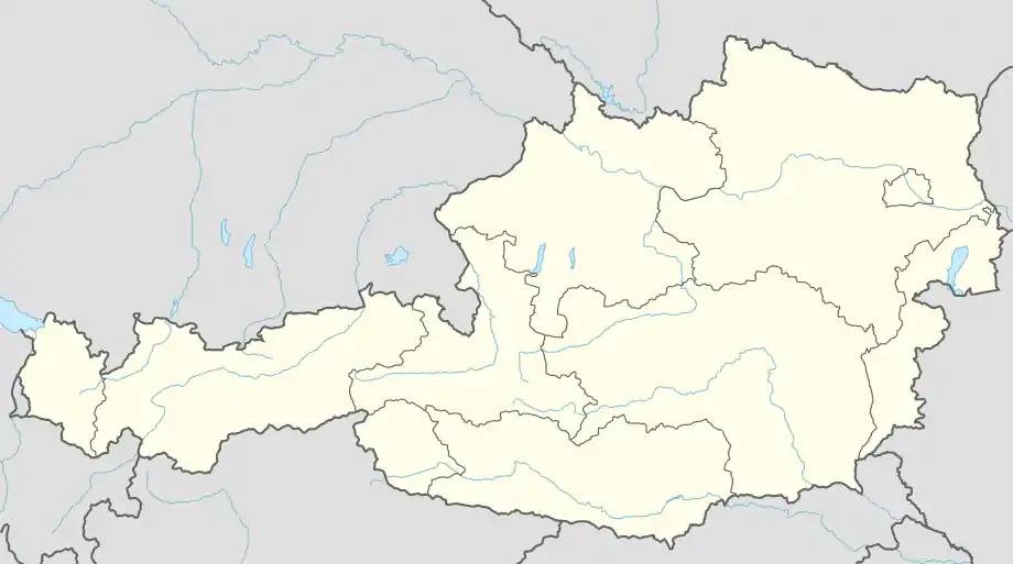  Rotenturm an der Pinka Location within Austria | |
| Coordinates: 47°15′N 16°15′E / 47.250°N 16.250°E | |
| Country | Austria |
| State | Burgenland |
| District | Oberwart |
| Government | |
| • Mayor | Josef Halper |
| Area | |
| • Total | 17.04 km2 (6.58 sq mi) |
| Elevation | 295 m (968 ft) |
| Population (2018-01-01)[2] | |
| • Total | 1,445 |
| • Density | 85/km2 (220/sq mi) |
| Time zone | UTC+1 (CET) |
| • Summer (DST) | UTC+2 (CEST) |
| Postal code | 7501 |
| Area code | +43 3352 |
Rotenturm an der Pinka (Hungarian: Vasvörösvár, Croatian: Verešvar) is a municipality in the Austrian state of Burgenland on the banks of the Pinka River. Administratively the village belongs to the district of Oberwart. Rotenturm is almost merged with the neighbouring Unterwart. The small Hungarian-speaking village of Siget in der Wart (Őrisziget) is part of the municipality of Rotenturm an der Pinka.
Population
| Year | Pop. | ±% |
|---|---|---|
| 1869 | 1,871 | — |
| 1880 | 1,928 | +3.0% |
| 1890 | 1,857 | −3.7% |
| 1900 | 1,754 | −5.5% |
| 1910 | 1,703 | −2.9% |
| 1923 | 1,673 | −1.8% |
| 1934 | 1,559 | −6.8% |
| 1939 | 1,409 | −9.6% |
| 1951 | 1,365 | −3.1% |
| 1961 | 1,342 | −1.7% |
| 1971 | 1,386 | +3.3% |
| 1981 | 1,457 | +5.1% |
| 1991 | 1,410 | −3.2% |
| 2001 | 1,378 | −2.3% |
| 2011 | 1,434 | +4.1% |
| 2016 | 1,436 | +0.1% |
References
- ↑ "Dauersiedlungsraum der Gemeinden Politischen Bezirke und Bundesländer - Gebietsstand 1.1.2018". Statistics Austria. Retrieved 10 March 2019.
- ↑ "Einwohnerzahl 1.1.2018 nach Gemeinden mit Status, Gebietsstand 1.1.2018". Statistics Austria. Retrieved 9 March 2019.
This article is issued from Wikipedia. The text is licensed under Creative Commons - Attribution - Sharealike. Additional terms may apply for the media files.