Saint-Waast | |
|---|---|
_%C3%A9glise.JPG.webp) The church in Saint-Waast | |
.svg.png.webp) Coat of arms | |
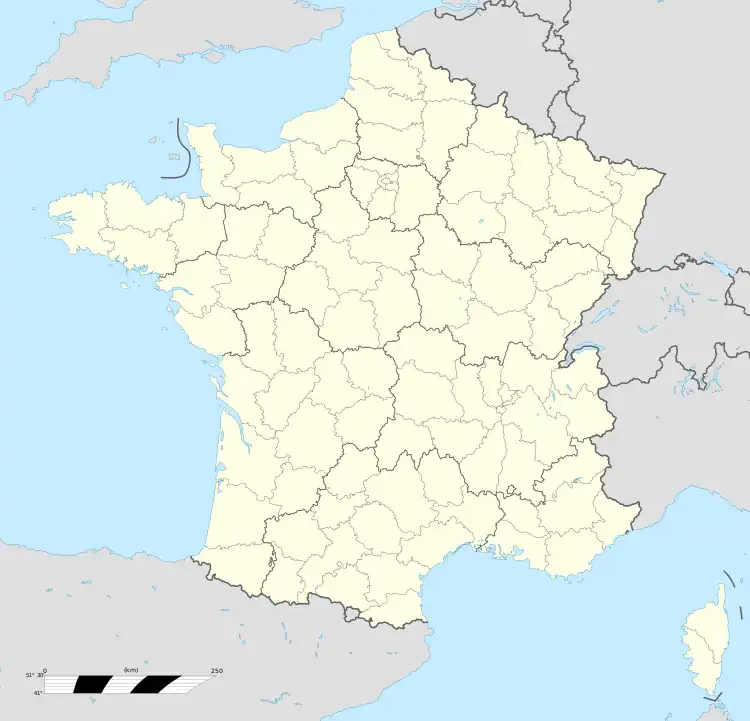
Location of Saint-Waast | |
  Saint-Waast 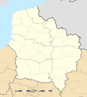 Saint-Waast | |
| Coordinates: 50°18′18″N 3°44′53″E / 50.305°N 3.748°E | |
| Country | France |
| Region | Hauts-de-France |
| Department | Nord |
| Arrondissement | Avesnes-sur-Helpe |
| Canton | Aulnoye-Aymeries |
| Intercommunality | CC Pays de Mormal |
| Government | |
| • Mayor (2020–2026) | Daniel Dazin[1] |
| Area 1 | 5.91 km2 (2.28 sq mi) |
| Population | 644 |
| • Density | 110/km2 (280/sq mi) |
| Time zone | UTC+01:00 (CET) |
| • Summer (DST) | UTC+02:00 (CEST) |
| INSEE/Postal code | 59548 /59570 |
| Elevation | 85–142 m (279–466 ft) (avg. 120 m or 390 ft) |
| 1 French Land Register data, which excludes lakes, ponds, glaciers > 1 km2 (0.386 sq mi or 247 acres) and river estuaries. | |
Saint-Waast is a commune in the Nord department in northern France.[3]
Heraldry
Arms of Saint-Waast |
The arms of Saint-Waast are blazoned : Vair, 3 pales gules. (Englefontaine, Louvignies-Quesnoy, Poix-du-Nord and Saint-Waast-la-Vallée use the same arms.)
|
Local Culture and Heritage
The Carrière des Nerviens Regional Nature Reserve is partially located in the communal territory just 1,700 metres (5,600 ft) south-east of the town centre.
See also
References
- ↑ "Répertoire national des élus: les maires". data.gouv.fr, Plateforme ouverte des données publiques françaises (in French). 9 August 2021.
- ↑ "Populations légales 2020". The National Institute of Statistics and Economic Studies. 29 December 2022.
- ↑ INSEE commune file

Wikimedia Commons has media related to Saint-Waast.

This article is issued from Wikipedia. The text is licensed under Creative Commons - Attribution - Sharealike. Additional terms may apply for the media files.