| Skedaddle Mountains | |
|---|---|
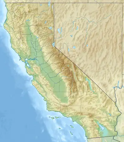  Skedaddle Mountains Location of Skedaddle Mountains in California[1] | |
| Highest point | |
| Peak | Hot Springs Peak |
| Elevation | 2,333 m (7,654 ft) |
| Coordinates | 40°22′30.08″N 120°7′17.51″W / 40.3750222°N 120.1215306°W |
| Geography | |
| Country | United States |
| State | California |
| District | Lassen County |
| Topo map | USGS Bull Flat |
The Skedaddle Mountains are a mountain range that span southeast Lassen County. The tallest peak in this range is Hot Springs Peak, which stands at 2,333 m (7,654 ft.) tall.[2][3]
The communities of Belfast, Litchfield, and Wendel are located at or near the edges of this range.
References
- ↑ "Big Valley Mountains". Geographic Names Information System. United States Geological Survey, United States Department of the Interior. Retrieved 2009-05-04.
- ↑ "Hot Springs Peak". Geographic Names Information System. United States Geological Survey, United States Department of the Interior. Retrieved 2021-07-23.
- ↑ "Skedaddle". BLM.gov.
This article is issued from Wikipedia. The text is licensed under Creative Commons - Attribution - Sharealike. Additional terms may apply for the media files.